A Short History of Stokes Croft
A constant theme of Stokes Croft is its place outside the walls, where theatre, circus and fairs could take place, beyond the strict laws of the city.
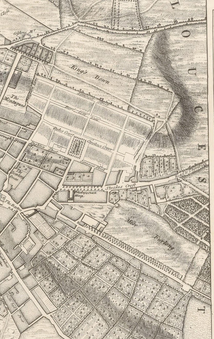
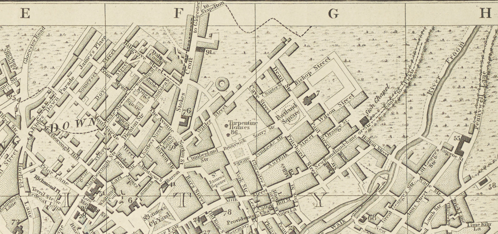
Originally, Stokes Croft was in Gloucestershire, and as the city expanded, the city’s boundary moved northwards, until the turnpike at the bottom of Ninetree Hill marked the city’s edge. Eventually, the city grew rapidly past this boundary, leaving Stokes Croft as part of the inner city.
However, that outsider spirit survived when the area became neglected after the destruction of the Second World War, where the once-grand street became a home for squat parties, pop-up art galleries, clubs, and street artists.
Stokes Croft now faces the challenges of gentrification, where much-loved venues are being sold and developed into luxury flats. Land Trusts and legal challenges are pushing back against this encroachment… but the rebellious artistic character of Stokes Croft is under threat, so one day this character might become history too.

In the Beginning – Medieval Bristol
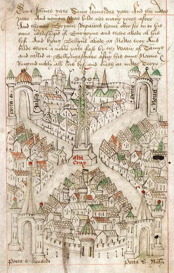
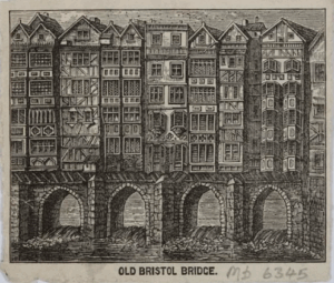
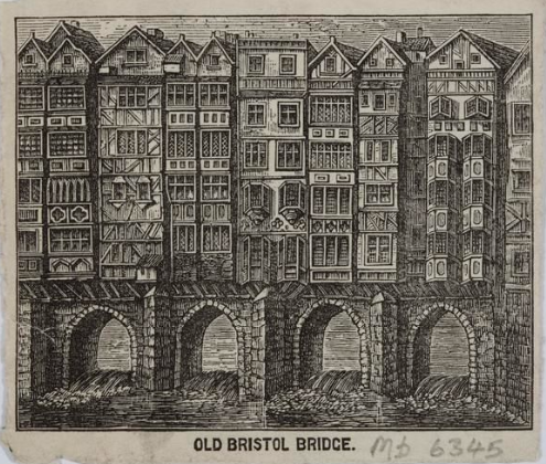
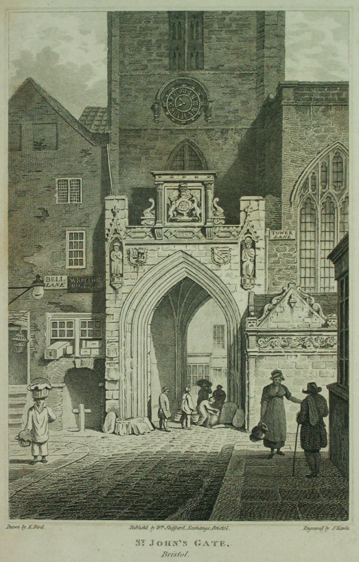
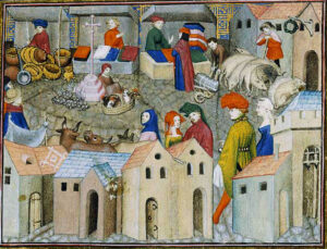
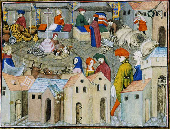
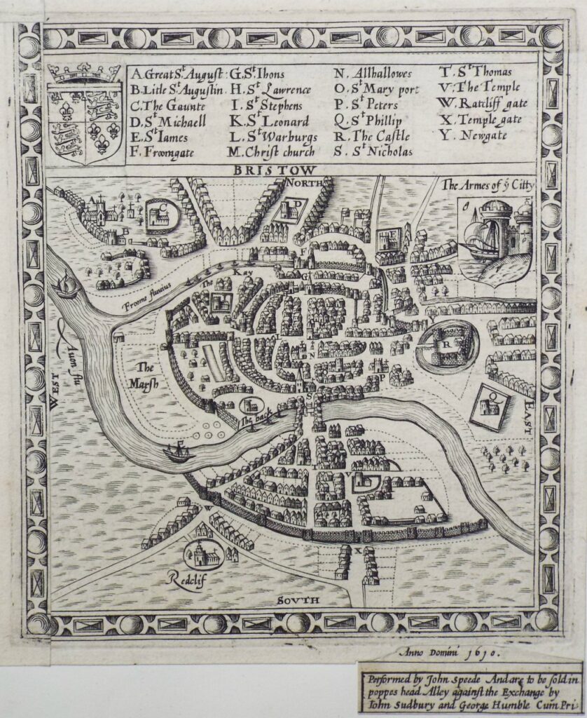
Medieval Bristol was an over-crowded city hemmed in by the city walls and rivers which defended it. Most of the lands outside the city walls were owned by the church parishes, so the city became densely packed with tall houses. Even the bridge had 4 story houses and a chapel built onto it to take advantage of the limited space. Poor sanitation and overcrowding made Bristol smelly and rife with diseases, but as the crossroads between 2 major rivers with a thriving port, the opportunities for trade drew a growing population.
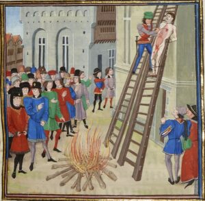
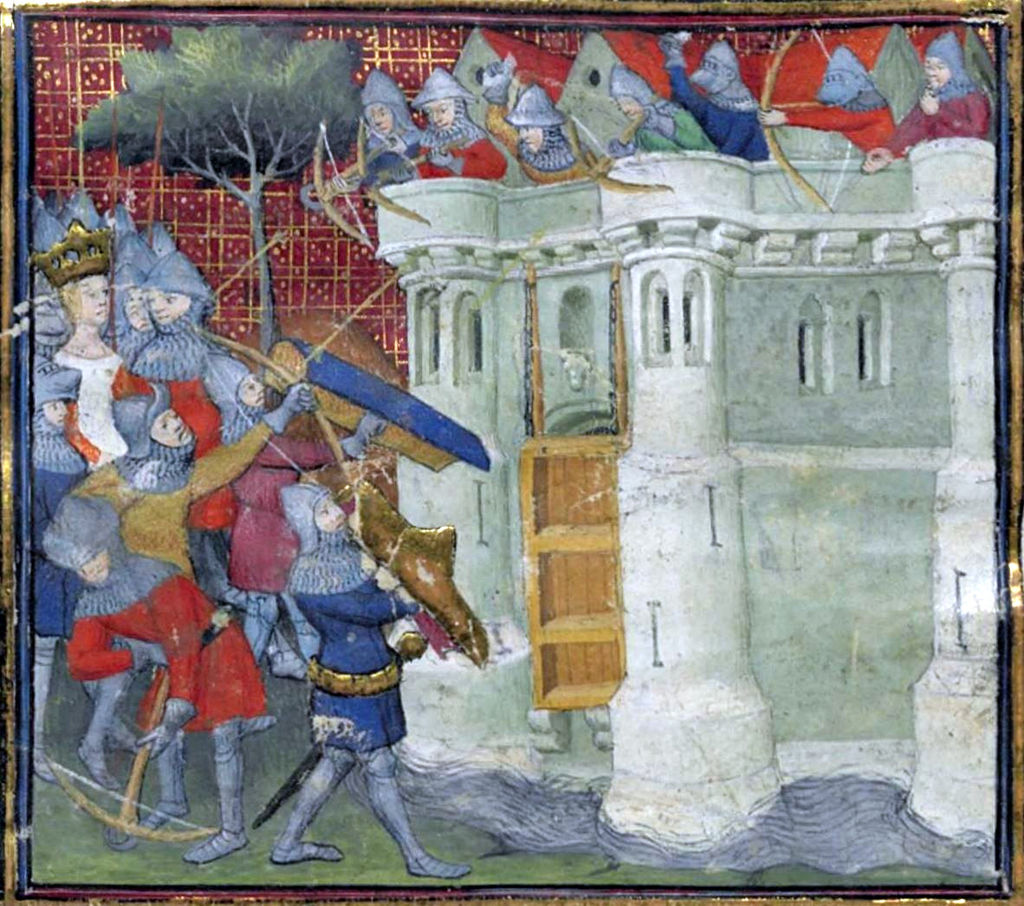
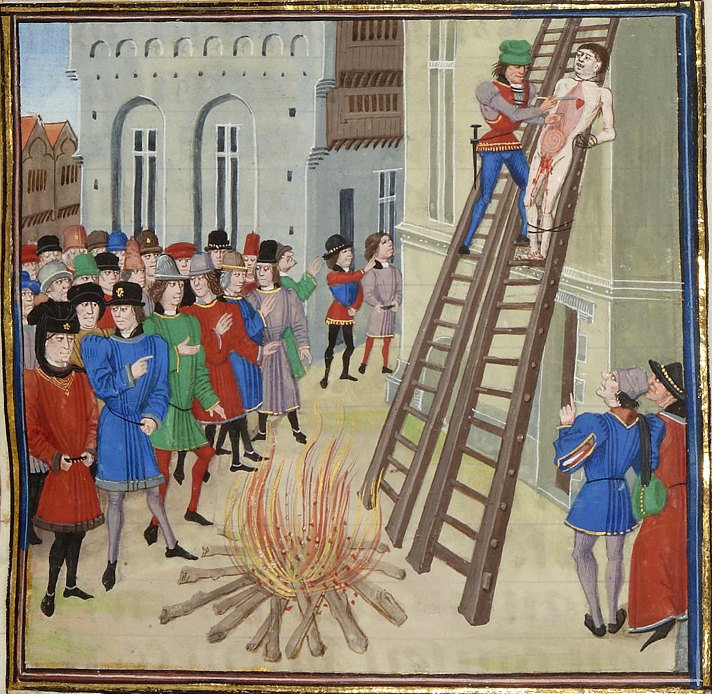
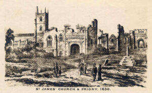
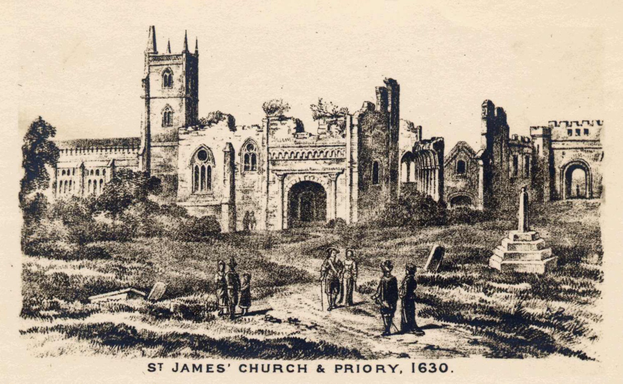
Outside the city walls, north of the crowded city, St James Priory and St Michael’s on the Mount Without were the main landmarks. The remaining land was mostly farmland, with a few scattered farm buildings, where monks and farmers worked the land, which sounds quite idyllic… and it probably was on a sunny day. However, the countryside outside the walls could be a dangerous place, with Viking and Barbary pirates raiding to capture slaves, brigands and bandit gangs stalking travellers, and the ever-present dangers of war… such as when Isabella of France laid siege to Bristol in 1326, which ended in the public hanging and disembowelment of the loser. Life back then was short and often brutal.


As the church slowly lost its dominance over the city, lands outside the city walls began to be devloped. City mayor John Stokes was given lands north of the city in 1364. His farm became known as Stoke’s Croft.

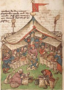
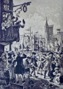
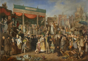
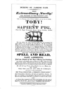
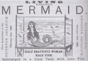
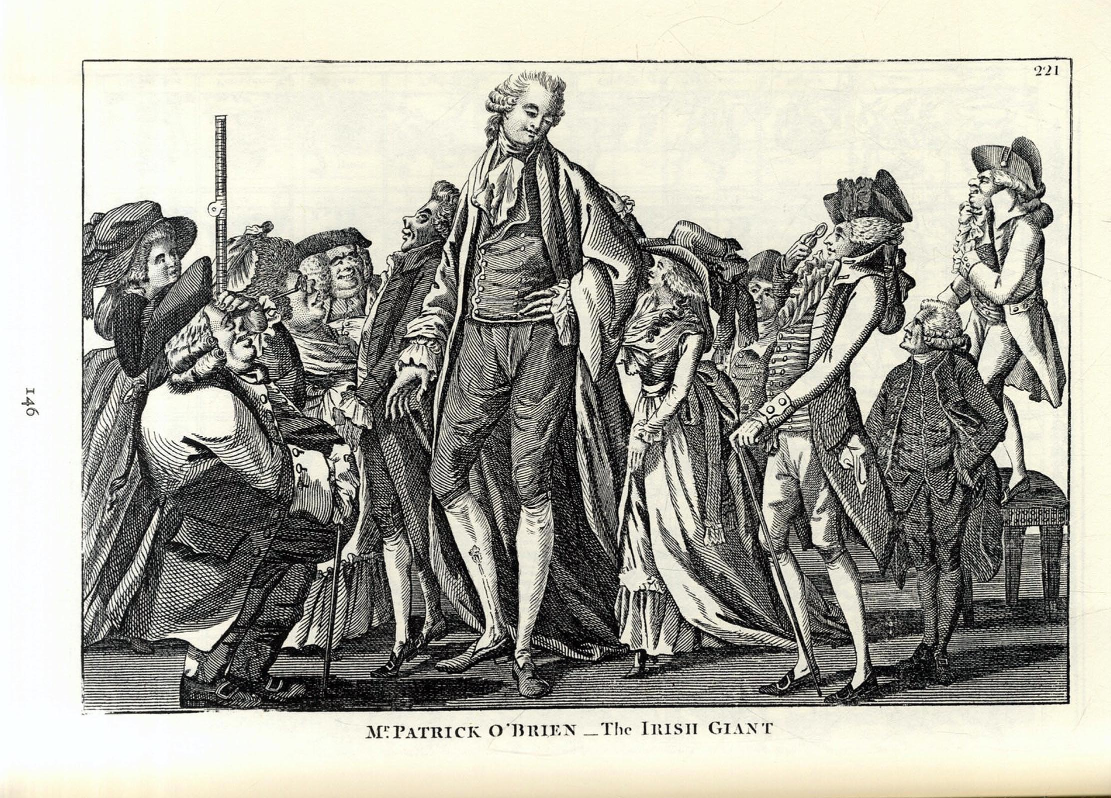
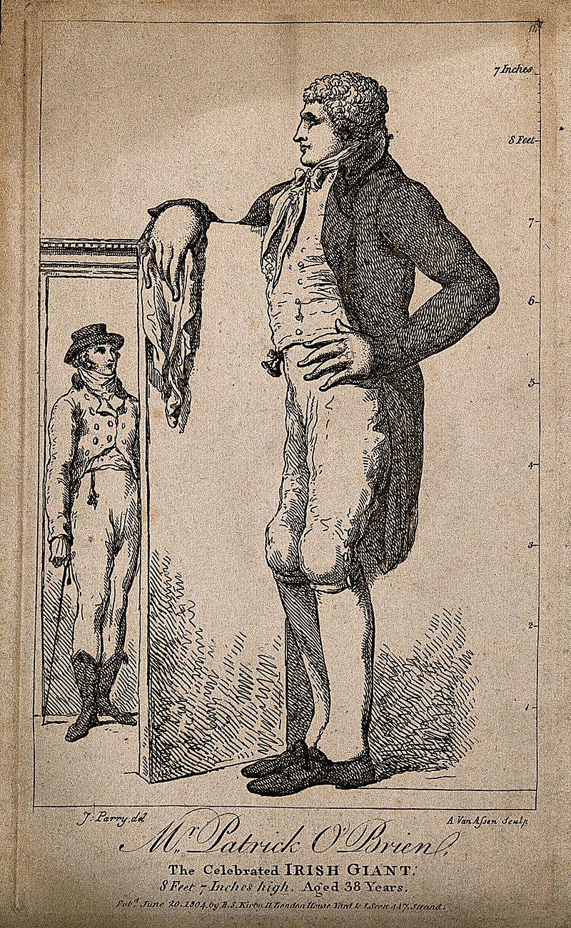
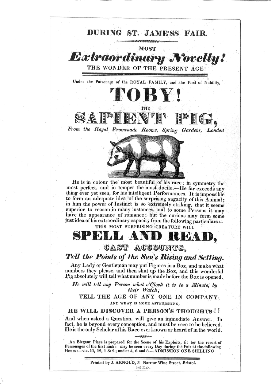
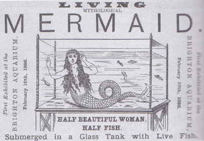
St James Fair
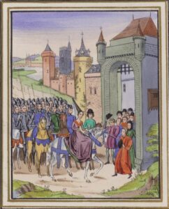
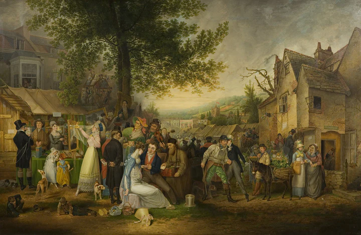
From 1238, a huge fair was held in the fields around St James Church, in what is now the Bearpit roundabout by the coach station. The fair lasted for 2 weeks and attracted stallholders and visitors from across the country. even attracting Barbary pirates, who lay in wait in the Bristol Channel to attack merchant ships bringing fancy goods to sell at the fair.

Farmers from Gloucestershire coming to sell their produce at the fair would take a shortcut through Stokes Croft farm, which gradually evolved from a muddy track to a wider lane, and the road called Stokes Croft was born.
It was said that you could buy anything at the fair, which had luxury goods and cheap trinkets from across the world. The entertainments included theatre, minstrels, boxing, wrestling, bear-baiting, wild animals, acrobats, magicians, and musicians.
There were strict rules inside the walls of the city to govern drinking, market stalls and entertainment, so the fair took advantage of its location without the walls. At its height in the 17th Century, concerns about the fair attracting sex workers, pickpockets, and drunkenness led to the council discussing banning it. The fair was worth so much to the merchants that they clubbed together to bribe the council with the equivalent of £2m. But eventually, in 1837, the council finally banned it, provoking protest riots… which sounds oddly familiar…


The Civil War Era
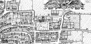
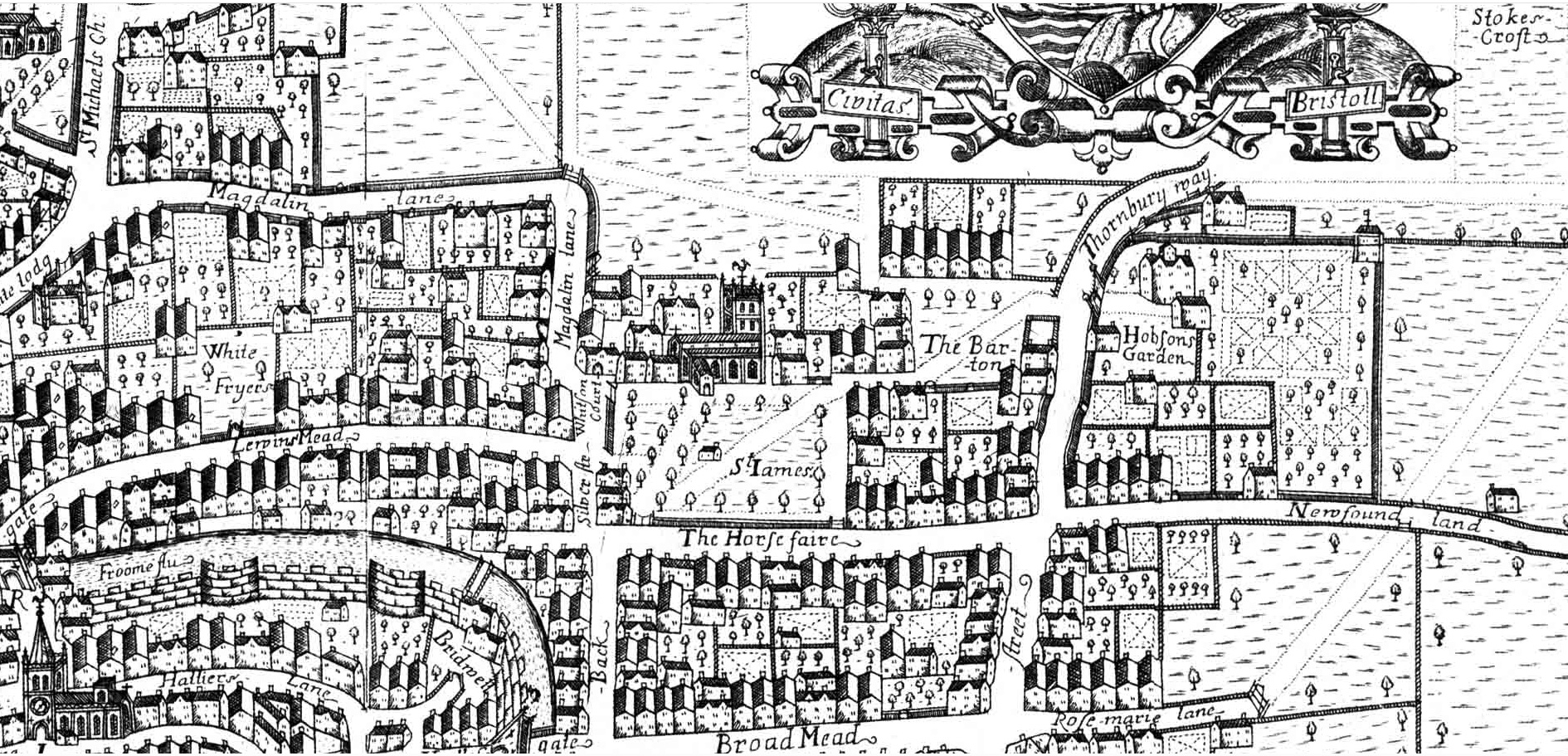
Stokes Croft is the unmarked road north just to the right of St James church (E) outside the city
The 17th century saw great social changes in Bristol. In medieval times, Bristol had been run by the church, and a succession of warring lords and kings, eventually being run exclusively by the crown. But the growing power and money of the merchant classes led to Bristol being run by the merchants, in particular by the Society of Merchant Venturers, who regulated and funded the huge trade in commodities from the port. Bristol became second only to London in prosperity, and manufacture and trade flourshed. Factories and workshops were established in Bristol and the surrounding countryside.
After the dissoloution of the monasteries by Henry VIII in the previous century, church lands that had restricted the growth of Bristol were sold to private owners, and the establishment of suburbs began.
At the time of the Civil War (1642–1651), Stokes Croft was still on the outside edge of Bristol, with a few market gardens and isolated houses in the area. The edge of the city was marked by the Stokes Croft turnpike, at the current Ashley Road and Ninetree Hill junction. Beyond the turnpike was the Thornbury Road, still part of Gloucestershire.
The War
The causes of the Civil War defy definition, because they were complicated and hard for us to grasp in these secular times. People’s religious loyalties ran deep, and people were prepared to kill or be killed for their faith. Class war and Political intrigues also drove the series of civil wars that took place between 1642 and 1660.
As a city of merchants, funded and run by merchants, Bristol decided it would declare itself neutral, so business could carry on as usual.
In Bristol, the war went in 4 stages:
- 1642 Bristol declares itself neutral. It is poorly defended, so parliamentary forces take the city easily and occupy it, building defences.
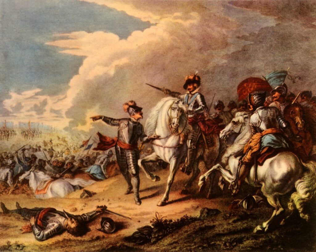
- 1643 Royalist forces led by Prince Rupert breach the defences at the top of Park Street and charge down the hill into the city. They occupy the city for 2 years. At first they are hated for looting and killing, but they’re still customers, so they are tolerated and accepted eventually. Prince Rupert’s army build defensive barricades with connecting forts from Cabot Tower to Kingsdown, down Ninetree Hill to Stokes Croft, then continuing down to the river Frome behind Newfoundland Road, ending at the city walls by Lawford’s Gate, in front of Castle Park.
- 1645 The Parliamentary army led by Oliver Cromwell and General Fairfax attack Bristol from the north, breaching the defences at Prior’s Fort at the top of Nietree Hill and Stokes Croft turnpike, at the Ashley Road junction. They liberate Bristol from the royalists, and Prince Rupert is allowed to march his army out of the city. After winning the war, Oliver Cromwell, pulls down Bristol Castle, bans theatres, Christmas, dancing and drunkeness… Bristol suffers.
- 1660 The parliamentary regime ends, Charles II is crowned king in 1661, everyone forgets about hating each other in previous decades, and an era of peace and prosperity begins… sort of…
Ma Puglsley:
A very moving tale from these times caught the popular imagination of Bristolians.
A young lady was due to marry the Royalist Captain Pugsley when Cromwell’s attack began. They were hurriedly married by candlelight on the night of the battle in Bristol Cathedral, before young Captain Pugsley had to hurry off to Prior’s Hill to defend the city. In the battle for Prior’s Hill Fort, Captain Puglsey was killed, and buried in a nearby field, next to a spring.
His widow was utterly heartbroken to lose her love on her wedding night, and spent the rest of her long life dressed in mourning, and would walk up to visit the grave of her dead husband every day for the rest of her life.
After the war, people used to visit Kingsdown for the fresh air, away from the fumes and noise of the city, and nannies would take the children they looked after to play on the down. Ma Pugsley, as she became affectionately known, would run around playing and laughing with the children and bathe people’s eyes with the spring water, which was said to have healing properties for the eyes. She became a lovable eccentric, seen every day walking from St Nicholas Gate up to Kingsdown in her widow’s weeds until she died aged 80 in 1705.
She had specified that her funeral should be a happy affair because she would be happy to be finally reunited with her husband. So a fiddler led the procession, playing a merry tune, with girls strewing flowers along the route. She was carried in an open bier, dressed in her wedding dress. 10,000 mourners attended the huge funeral procession, and Ma Pugsley became one of the city’s legendary stories… now mostly forgotten.
To Be Continued… when I get time to write it.
In the meantime, if you want a more detailed history of Stokes Croft, I have put my research here: history.visitstokescroft.co.uk